
In this article, I will explore the fascinating world of drones and their application in topographic surveys. Drones have revolutionized the field of surveying, offering an efficient and cost-effective solution for mapping and measuring land. With their ability to capture high-resolution aerial images and perform accurate 3D modeling, drones have become an invaluable tool for professionals in various industries. Through a case study, we will delve into the specific techniques and benefits of using drones in topographic surveys, providing a comprehensive understanding of this advanced technology. Whether you’re a beginner looking to learn about drones or a professional seeking advanced techniques, this article has something for everyone. So, let’s take off and uncover the extraordinary ways drones are transforming the world of topographic surveys.
Prime for Young Adults — 6 Months Free
Exclusive Offer Amazon Prime for Young Adults, Students and 18–24s get six months of Prime free, then half price.
Start 6 Months Free As an Amazon Associate I earn from qualifying purchases.Overview of Topographic Surveys
What is a Topographic Survey?
A topographic survey is a detailed mapping and measurement of the physical features and elevation of a piece of land. It provides information on the shape, slope, and contours of the land, as well as the location of natural and man-made features such as buildings, roads, and trees. Topographic surveys are commonly used in various fields such as engineering, construction, and land management.
Importance of Topographic Surveys
Topographic surveys play a crucial role in many industries and applications. They provide essential information for engineers and designers to plan and design infrastructure projects such as roads, bridges, and buildings. They are also essential for land management, environmental monitoring, and urban planning. Topographic surveys ensure accurate measurements of the land, which is crucial for avoiding costly mistakes and ensuring the safety and efficiency of construction projects.
Traditional Methods of Topographic Surveys
Traditionally, topographic surveys were conducted using manual methods such as land surveying equipment, including total stations and levels. Surveyors would physically visit the site, set up equipment, and take measurements of various points on the ground. This process required a significant amount of time, resources, and manpower. It was also prone to human error and limitations in accessing difficult terrain or hazardous areas.
Introduction to Drones
Recommended Best Deal Products
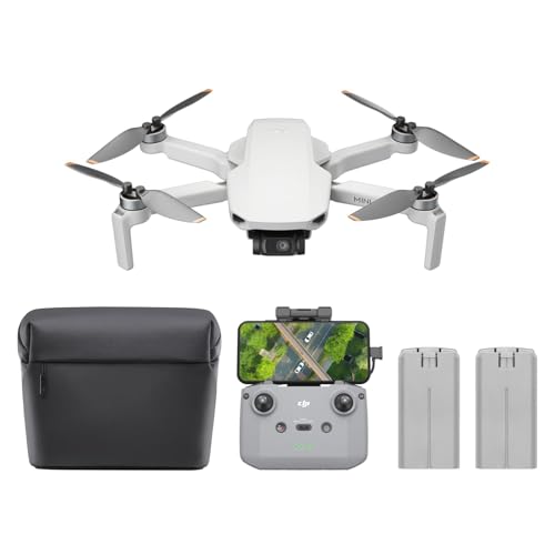
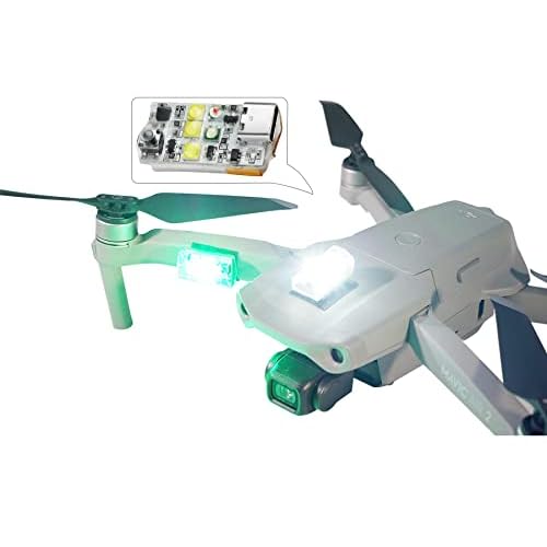

What are Drones?
Drones, also known as unmanned aerial vehicles (UAVs), are small remote-controlled aircraft that can fly autonomously or be controlled by a operator on the ground. They are equipped with various sensors, cameras, and navigation systems that allow them to capture images, videos, and other data from the air. Drones have become increasingly popular and accessible in recent years, thanks to advancements in technology and the development of affordable consumer models.
Evolution of Drones
Drones have evolved significantly since their inception. Originally developed for military purposes, drones have now become widely used in civilian applications. The advancements in drone technology have led to improvements in flight capabilities, navigation systems, and payload capacity. Today’s drones are capable of capturing high-resolution images and videos, conducting complex aerial surveys, and even performing autonomous tasks.
Advantages of Drones in Surveying
Drones have revolutionized the field of surveying, including topographic surveys, by providing numerous advantages over traditional methods. One of the main advantages is the speed and efficiency with which drones can collect data. Drones can quickly cover large areas and capture high-resolution aerial imagery, allowing surveyors to obtain detailed and accurate information in a fraction of the time compared to manual methods. Drones also provide access to hard-to-reach or hazardous areas, eliminating the need for surveyors to physically visit every point on the ground. Furthermore, drones offer cost savings, improved safety, and the ability to collect data from multiple angles and perspectives, enhancing the accuracy and reliability of survey results.
Case Study: Using Drones in Topographic Surveys
Overview of the Case Study
In this case study, we will explore how drones were used in a topographic survey for a construction project. The survey site was a large area of land with uneven terrain and dense vegetation. The objective was to create a highly accurate and detailed map of the site to aid in the design and construction process.
Prime for Young Adults — 6 Months Free
Exclusive Offer Amazon Prime for Young Adults, Students and 18–24s get six months of Prime free, then half price.
Start 6 Months Free As an Amazon Associate I earn from qualifying purchases.Selection of Drone for the Survey
The first step in the case study was to select an appropriate drone for the survey. Factors such as flight time, payload capacity, camera quality, and software compatibility were taken into consideration. A professional-grade drone with a high-resolution camera and a long flight time was chosen to ensure the collection of high-quality data.
Preparation and Planning
Before conducting the survey, proper preparation and planning were necessary. This included obtaining necessary permits or authorizations, ensuring the drone was in good working condition, and creating a flight plan. The flight plan considered factors such as altitude, flight path, and overlapping imagery to ensure comprehensive coverage of the site.
Data Collection with Drones
Once the preparations were complete, the drone was deployed to collect data. It followed the predetermined flight plan, capturing images and videos of the site from various angles. The drone’s high-resolution camera provided detailed imagery of the land, capturing both natural and man-made features.
Data Processing and Analysis
After the data collection, the captured imagery was processed using specialized software. The software stitched together the individual images to create a detailed and accurate map of the survey site. Additional analysis and measurements were performed on the processed data to extract specific information such as contour lines, elevation points, and distances between features.
Accuracy and Reliability of Drone Surveys
The accuracy and reliability of drone surveys are crucial for their effectiveness. In this case study, the drone survey was compared to traditional survey methods for accuracy. The results showed that the drone survey produced highly accurate data, comparable to or even better than traditional methods. The drone’s ability to capture high-resolution imagery and 3D mapping allowed for precise measurements and detailed analysis.
Challenges and Limitations
While drone surveys offer numerous advantages, they also come with their own set of challenges and limitations. One of the main challenges is weather conditions, as strong winds, rain, or extreme temperatures can affect the drone’s flight capabilities. Another challenge is the need for skilled operators who are knowledgeable in drone operations and surveying techniques. Additionally, the limitations of battery life and flight range may restrict the coverage area of the survey.
Comparing Drone Surveys with Traditional Methods
Recommended Best Deal Products


Cost and Time Efficiency
One of the significant advantages of drone surveys over traditional methods is their cost and time efficiency. Traditional methods require a significant amount of time, resources, and manpower to conduct surveys manually. Drones, on the other hand, can cover large areas quickly and capture data efficiently. This leads to cost savings in terms of labor and equipment, as well as reduced project timelines.
Prime for Young Adults — 6 Months Free
Exclusive Offer Amazon Prime for Young Adults, Students and 18–24s get six months of Prime free, then half price.
Start 6 Months Free As an Amazon Associate I earn from qualifying purchases.Accuracy and Precision
Drones have the advantage of capturing high-resolution imagery and data from various angles, resulting in accurate and precise measurements. Traditional methods, on the other hand, are more prone to human error and limitations in accessing certain areas. Drone surveys provide detailed and reliable information, enhancing the accuracy and precision of survey results.
Flexibility and Accessibility
Drone surveys offer greater flexibility and accessibility compared to traditional methods. Drones can access hard-to-reach or hazardous areas, eliminating the need for surveyors to physically visit every point on the ground. This allows for comprehensive data collection and a more thorough understanding of the site. Drones also provide the flexibility to adjust flight plans and capture data from different perspectives, providing a more holistic view of the survey area.
Environmental Considerations
Using drones for surveys is also more environmentally friendly compared to traditional methods. Drones consume less energy and do not require the use of heavy machinery or vehicles. This reduces carbon emissions and minimizes the impact on the environment. Additionally, drones can collect data without disturbing natural habitats or sensitive areas, making them a more sustainable option for surveys.
Applications of Drone Surveys in Topography
Construction and Infrastructure
Drones are extensively used in the construction and infrastructure industries for topographic surveys. They provide accurate and up-to-date information on the land, allowing engineers and designers to plan and construct projects more efficiently. Drones can monitor progress, identify potential issues, and ensure the adherence to project specifications.
Agriculture and Land Management
In agriculture and land management, drones play a crucial role in topographic surveys. They can assess soil quality, map crop health, and monitor irrigation systems. By obtaining detailed information on the terrain and vegetation, drones assist in optimizing farming practices, improving crop productivity, and conserving resources.
Environmental Monitoring
Drones have become valuable tools for environmental monitoring, including topographic surveys. They can assess the impact of human activities on the environment, monitor changes in land cover, and identify areas prone to erosion or degradation. Drones provide real-time data that aids in conservation efforts, ecosystem management, and environmental planning.
Urban Planning and Development
Urban planning and development require accurate and detailed information on land topography. Drones deliver high-resolution imagery and 3D mapping that assist in the planning and design of cities. They can identify suitable locations for infrastructure, evaluate the impact of development on the environment, and provide valuable input for urban renewal and revitalization projects.
Disaster Management
In disaster management scenarios, drones are instrumental in conducting rapid and comprehensive topographic surveys. They can assess damage to infrastructure, map affected areas, and identify potential risks. Drones aid in emergency response efforts by providing real-time data to support decision-making and resource allocation.
Cinematography and Entertainment
Drones have also found applications in cinematography and entertainment industries. They are commonly used to capture stunning aerial footage for movies, documentaries, and commercials. Drones provide unique perspectives and angles that enhance the visual experience, making them valuable tools for the creative industry.
Regulations and Legal Considerations
Recommended Best Deal Products
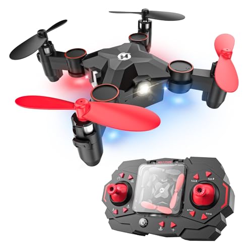

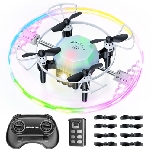
FAA Regulations for Commercial Drone Use
Drone operations are subject to regulations and legal considerations, especially for commercial use. In the United States, the Federal Aviation Administration (FAA) regulates the operation of drones for commercial purposes. These regulations include registration requirements, pilot certification, flight restrictions, and airspace regulations. It is crucial for drone operators to familiarize themselves with the FAA regulations and comply with the necessary requirements.
Privacy and Data Protection
When using drones for topographic surveys, privacy and data protection are important considerations. Drones can capture images and data that may contain personal information or sensitive details. It is essential to respect individuals’ privacy and adhere to privacy laws and regulations. Protecting the data collected during surveys is also vital to ensure confidentiality and prevent unauthorized access or use.
Insurance and Liability
Drone operators must also consider insurance and liability coverage. Accidents or incidents involving drones can result in property damage, personal injury, or privacy breaches. It is advisable to have appropriate insurance coverage to protect against potential liability claims. Additionally, operators should familiarize themselves with the legal requirements for liability coverage and comply with any necessary insurance regulations.
Future Trends in Drone-based Topographic Surveys
Advancements in Drone Technology
The future of drone-based topographic surveys is closely tied to advancements in drone technology. We can expect to see improvements in flight capabilities, sensor technology, and data processing algorithms. Drones will become more efficient, reliable, and easier to operate, with longer flight times and increased payload capacity. These advancements will further enhance the accuracy and speed of surveys.
Integration of Artificial Intelligence and Machine Learning
Artificial intelligence (AI) and machine learning (ML) will play a significant role in the future of drone-based surveys. AI algorithms can analyze large amounts of data quickly and accurately, allowing for faster processing and analysis of survey data. ML models can also learn from past surveys, improving the accuracy and efficiency of future surveys. The integration of AI and ML will enable drones to autonomously detect and classify objects, analyze terrain features, and provide real-time insights.
Automation of Survey Processes
Automation will continue to revolutionize the surveying industry, including topographic surveys. Drones will become increasingly autonomous, capable of conducting surveys without human intervention. Automated flight planning, data collection, and analysis will streamline the surveying process and reduce the need for manual input. This will lead to even greater efficiency, accuracy, and cost savings in survey operations.
Collaboration with Other Technologies
The future of drone-based topographic surveys will also involve collaboration with other emerging technologies. For example, drones can be integrated with LiDAR (Light Detection and Ranging) systems to capture highly accurate elevation data. The use of drones in conjunction with satellite imagery and GPS technology can provide a comprehensive and precise picture of the land. These collaborations will further enhance the capabilities and applications of drone surveys in topography.
Conclusion
Drones have revolutionized the field of topographic surveys, providing faster, more accurate, and cost-effective data collection methods compared to traditional techniques. The case study discussed the selection, preparation, and execution of a drone survey, highlighting the advantages and challenges of using drones in topography. Drone surveys offer numerous benefits, including cost and time efficiency, improved accuracy, flexibility, and accessibility. They find applications in various industries, from construction and agriculture to environmental monitoring and disaster management. However, regulations, privacy considerations, and insurance requirements must be carefully addressed when conducting drone surveys. The future of drone-based topographic surveys holds the promise of advancements in technology, integration with AI and ML, automation, and collaborations with other technologies. As drones continue to evolve, they will further transform the surveying industry and provide valuable insights for professionals and enthusiasts alike.
Call to Action
If you are interested in learning more about drone technology and its applications in topographic surveys, visit our website for in-depth articles, product reviews, and industry updates. Whether you are a beginner, enthusiast, or professional, our platform provides valuable resources and insights to help you navigate the world of drones. Comment below and share your thoughts on how drones have revolutionized the field of topographic surveys.