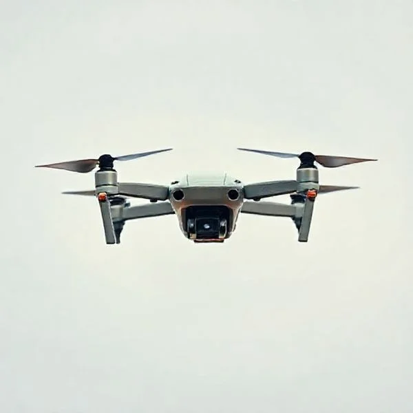
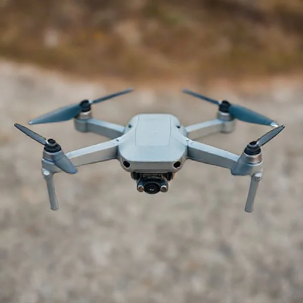
The FBI, FAA, and DHS are actively investigating a surge of mysterious, large-scale drone sightings across New Jersey and New York. While these aircraft have been spotted over sensitive locations like Picatinny Arsenal, official reports currently indicate no immediate physical threat to the public.
🎯 Key Takeaways
- Sightings are concentrated in Morris County, NJ, and surrounding New York areas.
- The FBI and DHS have formed a multi-agency task force for investigation.
- Drones are described as large, sophisticated craft with high-end navigational capabilities.
- Flight patterns frequently occur at night, often in coordinated groups or formations.
- Authorities have not yet identified the operators or the drones’ points of origin.
The mysterious drone swarms over New Jersey and New York have evolved from local rumors into a full-scale national security investigation. As of January 2025, these large, sophisticated aircraft continue to appear in coordinated patterns, often hovering over sensitive reservoirs, power grids, and suburban neighborhoods. You are likely seeing these reports because the scale is massive, with sightings spanning multiple counties and involving dozens of aircraft at once.

Understanding these developments is crucial because they represent a significant breach of traditional airspace norms. For residents and drone enthusiasts alike, the lack of immediate identification raises questions about privacy, safety, and the limits of current tracking technology. This guide breaks down exactly what has been confirmed so far and what the highest levels of government are doing to ground the mystery.
Prime for Young Adults — 6 Months Free
Exclusive Offer Amazon Prime for Young Adults, Students and 18–24s get six months of Prime free, then half price.
Start 6 Months Free As an Amazon Associate I earn from qualifying purchases.Chronology of Recent NJ and NY Drone Sightings
The timeline of these sightings suggests a highly organized operation rather than a series of isolated hobbyist flights. While reports surfaced late in 2024, the frequency and sophistication of the flights peaked in early January 2025. These drones are not your typical consumer models; witnesses and radar data describe craft that are up to six feet wide and capable of sustained flight in heavy winds.
The Morris County Surge (December 2024 – Early 2025)
The epicenter of the activity began in Morris County, New Jersey. Residents in towns like Parsippany, Morris Plains, and Morristown reported seeing groups of up to 15 drones flying in “V” formations. These flights typically occur between 6:00 PM and midnight, hovering at altitudes that are difficult for local law enforcement to reach but clearly visible to the naked eye.
- December 18-22: Massive sightings over the Boonton Reservoir and Picatinny Arsenal.
- January 3-5: The swarms expanded into Somerset and Hunterdon counties, showing a wider operational range.
- Flight Characteristics: Witnesses reported steady white and red lights, with some drones remaining stationary for over 30 minutes despite freezing temperatures.
Expansion into New York City and the Hudson Valley
By mid-January 2025, the sightings moved toward the New York state line. Large drones were spotted near the George Washington Bridge and hovering over the Hudson River. This transition shifted the investigation from a local curiosity to a major metropolitan security concern. Unlike the NJ sightings, the NY reports often involve drones flying near high-traffic transit corridors, creating potential risks for commercial aviation and local helipads.
- Manhattan Sightings: Multiple reports of drones circling the upper West Side and Riverside Park.
- Infrastructure Focus: Repeated sightings near the Indian Point Energy Center, despite it being decommissioned, raised alarms regarding “critical infrastructure” monitoring.
- Scale: Radar tracking suggested some of these units were traveling at speeds exceeding 60 miles per hour, far faster than standard commercial drones.
Official Response from the FBI, FAA, and DHS
The response from federal agencies has shifted from cautious monitoring to active, multi-agency intervention. Because these drones are flying in controlled airspace and near restricted military sites, the FBI has taken the lead in the investigation. However, the lack of a “smoking gun”—such as a recovered craft or a captured operator—has frustrated both officials and the public.
The Joint Task Force and Command Centers
To combat the lack of clear data, a joint command center was established in Newark, New Jersey. This center integrates data from the FAA’s radar systems and the FBI’s ground-based intelligence. You should know that the investigation is currently classified as a “national security priority,” meaning resources are being diverted from other areas to identify the launch points of these swarms.
- The FBI’s Role: They are currently interviewing hundreds of witnesses and analyzing high-resolution video footage to find serial numbers or unique identifiers.
- DHS Involvement: The Department of Homeland Security is utilizing mobile “counter-UAS” technology to try and jam or intercept the control signals of the drones.
- Information Gap: Despite these efforts, officials admit they have not yet successfully “hacked” the encrypted signals used by these specific drones.
FAA Flight Restrictions and Safety Alerts
The FAA has issued several Temporary Flight Restrictions (TFRs) across northern New Jersey to clear the air for investigative aircraft. They have also issued safety alerts to commercial pilots landing at Newark Liberty International Airport (EWR). These pilots are now required to report any “unauthorized UAS activity” immediately to air traffic control to prevent mid-air collisions.
- Increased Surveillance: The FAA has deployed mobile radar units to Morris County to catch “low-and-slow” targets that traditional airport radar might miss.
- Legal Warnings: The FAA has reminded the public that interfering with these drones—even if they are over your property—is a federal crime, as the investigation requires the drones to remain airborne for tracking.
- Coordination: The FAA is working with the DHS to identify if these drones are using “spoofed” GPS signals to bypass standard “no-fly zone” software built into consumer drones.
Analyzing Sighting Patterns and Observed Drone Behavior
The sightings across New Jersey and New York throughout 2025 have not been random flashes in the sky. Observers, ranging from local law enforcement to seasoned hobbyists, have noted distinct patterns that suggest these are sophisticated operations rather than casual backyard flights. Understanding these behaviors is essential for differentiating between a neighbor’s new cinematic drone and the larger, industrial-grade craft currently making headlines.
Prime for Young Adults — 6 Months Free
Exclusive Offer Amazon Prime for Young Adults, Students and 18–24s get six months of Prime free, then half price.
Start 6 Months Free As an Amazon Associate I earn from qualifying purchases.Flight Dynamics and Nighttime Activity
Many reports highlight a recurring schedule, with activity peaking during the “blue hour” and well into the night. Witnesses consistently describe large, fixed-wing aircraft or oversized multi-rotors that maintain a steady altitude, often hovering for extended periods over specific landmarks or suburban neighborhoods. Unlike standard consumer drones that zip around rapidly, these craft exhibit a disciplined, almost military-style flight path. Key observations include:
- Extended Battery Endurance: Many sightings report drones remaining airborne for over 90 minutes. This far exceeds the 20-30 minute limit of standard retail models, suggesting the use of high-capacity lithium-polymer batteries or hybrid gas-electric engines.
- Formation and Swarm Intelligence: Multiple reports from Morris County and Somerset County indicate drones moving in synchronized “V” or “Grid” formations, which implies the use of advanced waypoint programming rather than manual stick-and-rudder piloting.
- Low-Noise Profiles: Despite their large size—some described as having six-foot wingspans—witnesses often note how quiet these machines are, likely utilizing specialized carbon fiber propellers designed for acoustic stealth.
Equipment Specs and Capability Estimates
Based on the sheer size and stability described by residents, experts believe these platforms are carrying heavy payloads. These aren’t just carrying GoPros; they are likely equipped with high-definition thermal imaging cameras and LiDAR sensors. These tools allow the drones to map terrain or inspect infrastructure in total darkness. The steady, slow-moving nature of the flights suggests they are gathering high-resolution data rather than just passing through the airspace.
Public Safety Implications and Counter-Drone Measures
The persistent presence of unidentified drones in some of the most congested airspace in the world raises significant safety questions. When mysterious craft enter the flight paths of Newark Liberty (EWR) or JFK International, the potential for catastrophic interference becomes a primary concern for the FAA. The challenge lies in identifying the “who” and “why” behind these flights without causing panic.
Infrastructure Security and Airspace Conflicts
Beyond the risks to commercial aviation, there is the growing concern of “soft target” surveillance. Drones have been spotted near water reservoirs, power substations, and major bridges like the George Washington and Verrazzano-Narrows. While most of these flights may turn out to be authorized utility inspections or mapping projects, the lack of public transparency creates a security vacuum. Key risks identified by safety experts include:
- Near-Miss Incidents: A spike in reports of pilots spotting drones at altitudes above 1,000 feet, where they pose a direct threat to helicopters and small planes.
- Radio Frequency (RF) Overload: The heavy use of high-powered transmitters in urban areas can sometimes interfere with local emergency service frequencies.
- Public Privacy Concerns: The use of powerful zoom lenses over residential areas in North Jersey has sparked a wave of local ordinances aimed at restricting drone hovering near private windows.
The Rise of Detection Technology
In response to the 2025 “drone summer,” New York and New Jersey have become testing grounds for advanced counter-drone technology. Authorities are now deploying Aeroscope units and RF sensors that can detect the specific electronic signature of a drone’s command link. Many local police departments are also being trained on Remote ID interrogation. If a drone is broadcasting its required Remote ID signal, police can instantly see the pilot’s location and the drone’s serial number. For those operating illegally or “dark,” specialized acoustic arrays are being used to triangulate the sound of motors even when the craft is invisible to the naked eye.
Staying Informed on the Tri-State Drone Mystery
The mysterious drone sightings across New Jersey and New York represent a fascinating, if slightly unsettling, intersection of modern technology and public safety. While we may not have all the answers regarding the origin of these flights yet, the increased surveillance and government interest underscore the importance of transparency in our skies. As the situation evolves, staying updated through official FAA reports and verified local news outlets is the best way to separate legitimate concerns from social media speculation.
If you are a drone enthusiast, the best next step is to ensure your own gear is fully compliant with Remote ID regulations and to avoid flying in restricted “no-fly” zones near airports. Let’s keep the skies safe, respect the privacy of our neighbors, and continue the conversation as more data becomes available from the ongoing investigations. Have you seen something in the sky recently? Share your experience in the comments below!
Prime for Young Adults — 6 Months Free
Exclusive Offer Amazon Prime for Young Adults, Students and 18–24s get six months of Prime free, then half price.
Start 6 Months Free As an Amazon Associate I earn from qualifying purchases.❓ Frequently Asked Questions
What is the official explanation for the NJ/NY drone sightings?
Currently, there is no official consensus on the origin of the drones. The FBI and FAA are investigating whether they represent foreign surveillance, unauthorized corporate testing, or highly sophisticated hobbyist activity.
Which government agencies are involved in the investigation?
The investigation is a collaborative effort involving the FBI, FAA, Department of Homeland Security, and New Jersey State Police. They are pooling radar data and witness reports to track flight paths and identify operators.
Why haven’t the drones been shot down by authorities?
Federal law strictly prohibits shooting down aircraft, even drones, due to the safety risks posed by falling debris in populated areas. Authorities are prioritizing electronic tracking and signal identification.
Are the sightings related to the Bedminster golf course or military bases?
Sightings have frequently occurred near the Trump National Golf Club and Picatinny Arsenal, leading to heightened security at these locations. However, a definitive link to these sites as specific targets has not been confirmed.
How can residents distinguish these from normal hobbyist drones?
These drones are significantly larger than consumer models and operate in weather conditions or at altitudes usually avoided by hobbyists. They also demonstrate coordinated flight patterns over exceptionally long distances.
What should I do if I see a drone in this area?
Residents are advised not to attempt to down the drone themselves. Instead, record the time, location, and direction of travel, and report the incident to the FBI tip line or local law enforcement.