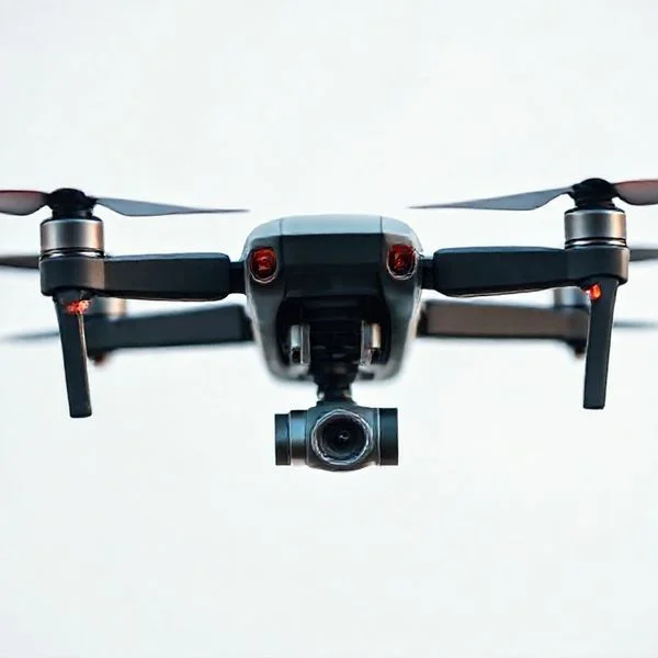
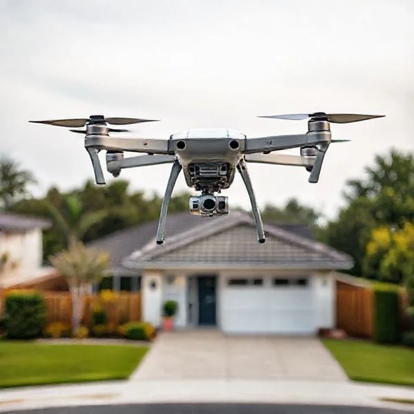
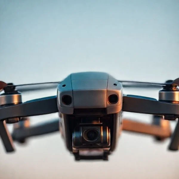
Drone light shows are powered by specialized software that translates complex 3D animations into individual flight paths for hundreds of synchronized units. These fleets rely on RTK GPS technology for centimeter-level positioning accuracy and a centralized Ground Control Station to manage the entire swarm simultaneously.
🎯 Key Takeaways
- Choreography software converts 3D models into unique XYZ coordinates for every drone.
- RTK GPS provides the centimeter-level precision necessary to prevent mid-air collisions.
- A single computer at the Ground Control Station manages the entire fleet.
- Virtual geofencing and redundancy protocols ensure spectator and airspace safety.
- High-intensity RGB LEDs allow drones to function as individual moving pixels.
At its core, a light displays”>drone light show is a choreographed dance of hundreds or even thousands of autonomous flying computers, all managed by a single master ground station. Instead of individual pilots holding controllers, specialized swarm software executes a pre-programmed 3D animation script where each drone acts as a single “pixel” in the sky. This synchronization allows the fleet to move as a single unit, transforming the night air into a massive digital display that can be seen for miles.
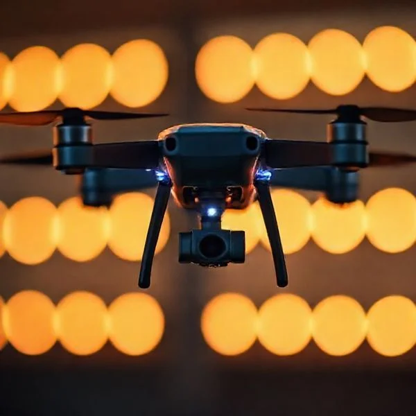
Understanding the tech behind these spectacles is crucial because it represents a leap from consumer-grade RC flying to high-level robotics and spatial computing. When you see a 3D dragon or a rotating logo in the sky, you aren’t looking at manual flight; you are looking at the perfect intersection of creative animation and precision aerospace engineering. Every movement is calculated down to the centimeter to ensure the image remains crisp and the drones stay airborne.
The Software Engine: Translating 3D Art into Flight Coordinates
The process of creating a drone show begins long before the first battery is plugged in. It starts in a digital environment where animators treat the sky like a 3D canvas. Using professional-grade animation software like Blender, Maya, or Cinema 4D, designers create a motion sequence. However, unlike a movie intended for a screen, this animation must account for the physical limitations of hardware, such as wind resistance, battery life, and the physical space required between each drone to avoid “prop wash” turbulence.
Recommended Best Deal Products


From Keyframes to XYZ Waypoints
Once the 3D animation is finalized, it is exported into a format that the drone swarm software can interpret. The software “slices” the animation into a series of waypoints. Each drone in the fleet is assigned a specific “ID” and a unique flight path. The software calculates the XYZ coordinates (latitude, longitude, and altitude) for every individual drone for every second of the show.
- Temporal Synchronization: Every drone’s internal clock is synced to the millisecond with the ground station.
- Frame Rate Translation: While a standard video runs at 24 or 60 frames per second, drone coordinates are often updated at a rate of 2 to 5 times per second to ensure smooth movement without overloading the data bandwidth.
- Color Mapping: The software embeds RGB values into the flight script, telling the drone exactly when to fire its high-intensity LED and what specific hue to display at a given coordinate.
Collision Avoidance and Path Planning
One of the most complex tasks of the software engine is “path planning.” In a show with 500 drones, the drones must move from one shape (like a sphere) to another (like a corporate logo) without their paths crossing. The software runs thousands of simulations to detect “inter-drone proximity alerts.” If two flight paths come within a “safety bubble”—usually a 1.5 to 3-meter radius—the software automatically reroutes them. This ensures that even during complex transitions, the drones maintain a safe distance while appearing perfectly synchronized to the audience below.
Precision Positioning: The Critical Role of RTK GPS Technology
If you have ever used a standard GPS on your phone, you know it is usually accurate to within 3 to 5 meters. In the context of a drone show, a 3-meter error would result in a catastrophic mid-air collision. To achieve the tight, crisp lines required for recognizable shapes, drone shows utilize Real-Time Kinematics (RTK) GPS. This technology provides centimeter-level precision, which is the “secret sauce” that allows drones to fly in tight formations just a few feet apart.
How RTK Enhances Accuracy
RTK works by using a stationary ground base station in addition to the satellites in orbit. The base station sits at a fixed, known coordinate on the flight field. As it receives signals from the GPS satellites, it calculates the “errors” caused by atmospheric interference. It then broadcasts a correction signal to the “rovers” (the drones) in real-time.
- Standard GPS: Provides location accuracy within 300-500 centimeters.
- RTK-Enabled GPS: Refines that accuracy to within 1-3 centimeters.
- Z-Axis Stability: RTK is especially vital for altitude (the Z-axis), preventing drones from drifting up or down into the path of another row.
The Communication Network
Maintaining this precision requires a robust communication link. The ground control station (GCS) communicates with the fleet typically via high-gain 2.4GHz or 5.8GHz radio frequencies. While the drones are autonomous once they begin their mission, the GCS constantly monitors their health telemetry. If a single drone’s GPS signal degrades or its battery voltage drops below a safety threshold, the software can trigger an automated “return to home” or “land in place” command for that specific unit without interrupting the rest of the performance. This constant feedback loop between the RTK base station, the satellites, and the drones is what keeps the formation rigid even in moderate winds.
Fleet Management: How Ground Control Stations Synchronize Swarms
One of the most common misconceptions about drone light shows is that there is a pilot for every drone. In reality, a swarm of 500 or even 1,000 drones is controlled by a single Ground Control Station (GCS). This powerful computer acts as the “brain” of the entire operation, communicating with every individual aircraft simultaneously to ensure they remain in perfect harmony.
The Central Command Hub
The GCS runs specialized fleet management software that uploads the pre-designed flight paths to each drone before takeoff. Once the show begins, the software doesn’t just “hit play”; it constantly monitors the telemetry data of every unit. This includes real-time updates on battery levels, GPS accuracy, and motor temperature. If a single drone deviates by even a few inches, the system can attempt to correct it or, if necessary, command it to land safely without interrupting the rest of the formation.
Mesh Networking and High-Speed Data Links
To keep hundreds of drones talking to one computer without interference, operators use advanced communication protocols. Most modern shows utilize dual-band Wi-Fi or proprietary radio frequencies to create a “mesh network.”
- Frequency Hopping: The system automatically switches frequencies to avoid interference from local Wi-Fi or cell towers.
- Data Latency: Systems are designed for ultra-low latency, ensuring that commands reach the entire fleet in milliseconds.
- Signal Strength: Ground stations often use high-gain directional antennas to maintain a solid “handshake” with the swarm throughout the performance.
Safety Protocols and Redundancy Systems in Modern Light Shows
When you have hundreds of pounds of hardware hovering over a public space, safety is the top priority. Modern drone light shows are built with multiple layers of redundancy. This means that for every critical system, there is a backup ready to take over instantly if a failure occurs.
Virtual Geofencing and Kill Switches
The most important safety feature in any show is the geofence. This is a virtual 3D “cage” programmed into the drones’ GPS coordinates. If a drone attempts to fly outside this invisible boundary due to a technical glitch or a gust of wind, its internal software will automatically disable its motors or force an immediate landing. This ensures that drones never drift toward the audience or into restricted airspace.
Emergency Failsafes and Procedures
Beyond geofencing, drones are equipped with several automated “if-then” protocols to handle unexpected mid-air scenarios.
- Return to Home (RTH): If a drone loses its connection to the Ground Control Station for more than a few seconds, it is programmed to automatically return to its specific launch pad.
- Low Battery Logic: Each drone calculates the power needed to finish the show and return home; if the battery drops below that threshold, the drone exits the formation early.
- Collision Avoidance: While the primary flight paths are designed to prevent collisions, many show drones feature proximity sensors as a final layer of protection.
- Manual Overrides: The Pilot in Command (PIC) always has a “kill switch” that can instantly land the entire fleet if an external threat, like a helicopter, enters the area.
Conclusion
Drone light shows are a breathtaking fusion of art and high-end aerospace engineering. From the precision of RTK-GPS to the complex synchronization managed by Ground Control Stations, every second of a performance is backed by cutting-edge technology and rigorous safety protocols. As battery life improves and swarm intelligence becomes even more sophisticated, we can expect these displays to become even more intricate, eventually replacing traditional fireworks as the go-to for sustainable, high-tech celebration.
If you are interested in the world of drone swarms, your next step should be to look for a local light show provider’s schedule to see the tech in action. Alternatively, you can explore flight simulation software to see how multi-drone coordinates are mapped in a virtual environment. The sky is no longer the limit—it is the canvas. Keep exploring the latest in drone accessories and technology to stay ahead of this rapidly evolving industry!
❓ Frequently Asked Questions
How does RTK GPS differ from standard GPS in drone shows?
Standard GPS has a margin of error of several meters, which is too risky for swarms. RTK GPS uses a local base station to provide corrections, reducing positioning error to just 1-3 centimeters, ensuring drones maintain tight, complex formations.
What is the role of the Ground Control Station (GCS)?
The GCS acts as the ‘brain’ of the operation, monitoring the telemetry of every drone simultaneously. It transmits the start command, monitors battery levels, and can trigger emergency landings for the entire fleet or individual units via encrypted radio frequencies.
How are 3D animations turned into a drone show?
Animators create a 3D sequence in software like Blender. This animation is then processed by a script that assigns each ‘vertex’ of the 3D model to a specific drone, calculating a collision-free flight path for every second of the performance.
How do drone shows handle wind and weather conditions?
Most professional show drones can handle winds up to 15-20 mph. However, because wind affects battery life and stability, operators use real-time anemometers and will cancel shows if gusts exceed safety thresholds set in the flight software.
How do the drones produce such bright colors in the night sky?
Show drones are equipped with high-lumen RGBW LEDs. These lights are capable of producing over 16 million color combinations and are diffused to ensure visibility from multiple angles and distances of several miles.
What safety measures prevent drones from falling into the crowd?
Operators implement ‘geofencing,’ which is a virtual digital wall the drones cannot cross. Additionally, there are designated ‘buffer zones’ between the performance area and the audience, and drones feature motor redundancy to prevent catastrophic failures.