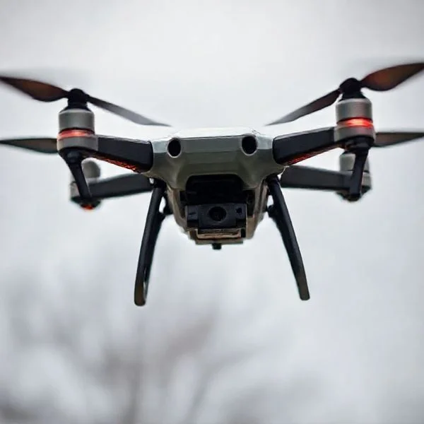
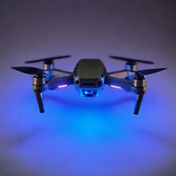
The standard legal altitude for drones is 120 meters (400 feet) above ground level (AGL) to ensure safety with manned aircraft. While many consumer drones have a software cap of 500 meters, their physical hardware can often reach heights of 4,000 to 6,000 meters above sea level.
🎯 Key Takeaways
- The universal legal flight limit is 120 meters above ground level.
- Consumer drones like DJI are usually software-locked at 500 meters.
- AGL measures height from the ground, not from sea level.
- High-altitude air is thinner, reducing battery life and motor efficiency.
- Flying above 120 meters typically requires specific permits or airspace authorization.
The short answer is that most drones are legally capped at 120 meters (400 feet) above ground level. Technically, your drone is likely capable of reaching much higher altitudes, with many consumer models having a software limit of 500 meters and a physical service ceiling of over 4,000 meters. However, pushing past the legal 120-meter mark puts you at risk of heavy fines and creates a genuine hazard for manned aircraft.
Prime for Young Adults — 6 Months Free
Exclusive Offer Amazon Prime for Young Adults, Students and 18–24s get six months of Prime free, then half price.
Start 6 Months Free As an Amazon Associate I earn from qualifying purchases.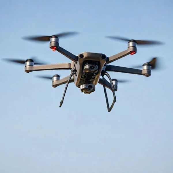
Understanding these limits is not just about staying out of trouble; it is about protecting your hardware. High-altitude flight introduces thinner air, stronger winds, and decreased battery efficiency. Whether you are a hobbyist or a professional, knowing the difference between what your drone can do and what it is allowed to do ensures you don’t lose your expensive equipment to a flyaway or a legal dispute.
Decoding the 120-Meter Legal Limit and Global Aviation Rules
Recommended Best Deal Products


In almost every country, the “magic number” for drone flight is 120 meters. This limit is measured as “Above Ground Level” (AGL), meaning the distance from the drone to the ground directly beneath it, rather than height from your takeoff point. Major aviation bodies like the FAA (United States), EASA (European Union), and CAA (United Kingdom) all enforce this 120-meter ceiling to maintain a safety buffer between drones and manned aircraft.
The 120-Meter Buffer Zone Explained
Most manned aircraft, such as planes and helicopters, are required to maintain a minimum altitude of 500 feet (approx. 152 meters). By limiting drones to 120 meters, authorities create a 30-meter “no-fly” cushion. This gap ensures that even if a pilot and a drone operator both experience slight altitude drift, they are unlikely to collide. Violating this space is considered a serious federal offense because it endangers human lives in the sky. To keep things simple, keep these points in mind:
- FAA (USA): Limits all recreational and commercial drones to 120 meters/400 feet.
- EASA (Europe): Enforces a strict 120-meter limit for the “Open” category.
- Specific Exemptions: Some commercial pilots can fly higher if they are within 120 meters of a tall structure (like a cell tower).
Why 120 Meters Matters for Your Safety
Beyond the legal ramifications, flying above 120 meters makes your drone significantly harder to see. This is known as Visual Line of Sight (VLOS). At 120 meters, a standard-sized drone like a DJI Mavic looks like a tiny speck against the clouds. If you go higher, you lose the ability to judge the drone’s orientation or spot incoming hazards like birds or low-flying emergency helicopters. Staying under the legal limit ensures you can react quickly if another aircraft enters your airspace.
Technical Flight Ceilings vs. Manufacturer Software Constraints
There is a massive difference between the legal limit and the mechanical limit of your drone. If you were to disable all software restrictions, a modern consumer drone could potentially climb several kilometers into the atmosphere. However, manufacturers like DJI, Autel, and Skydio install “digital fences” to prevent users from accidentally breaking the law or losing their drones to high-altitude environmental factors.
The 500-Meter Software Barrier
Most consumer drones come out of the box with a hard-coded software limit of 500 meters. Even if you try to fly higher, the drone will simply stop ascending and hover. This 500-meter cap is a compromise between the manufacturer and aviation authorities. While it is still technically “illegal” to fly at 500 meters without a specific waiver, the software allows this headroom for pilots who are flying in mountainous terrain where they might take off from a valley but need to clear a nearby peak while staying within 120 meters of the slope.
- Takeoff Point: Software limits are usually calculated from the point of takeoff, not the ground below.
- Manufacturer Overrides: In some cases, you can apply for a “limit increase” through the manufacturer if you have legal authorization.
- App Settings: Most drone apps allow you to set a custom “Max Altitude” to help you stay compliant with local laws.
Service Ceiling: Thin Air and Propeller Physics
If you bypassed the software, you would eventually hit the “service ceiling.” This is the maximum altitude above sea level (MSL) where the drone can still maintain a hover. For example, a DJI Mini 4 Pro has a service ceiling of 4,000 meters. As you go higher, the air becomes less dense. To stay airborne, the motors must spin significantly faster to generate the same amount of lift. Eventually, the air becomes so thin that the propellers cannot move enough molecules to keep the drone aloft, or the motors overheat from the effort. High-altitude flight also drains your battery much faster, meaning a drone that gets 30 minutes of flight at sea level might only get 15 minutes at a high mountain peak.
Prime for Young Adults — 6 Months Free
Exclusive Offer Amazon Prime for Young Adults, Students and 18–24s get six months of Prime free, then half price.
Start 6 Months Free As an Amazon Associate I earn from qualifying purchases.Understanding AGL vs. MSL for Safe High-Altitude Navigation
Recommended Best Deal Products


When discussing how high a drone can fly in meters, the terminology can get confusing. Pilots often see two different acronyms on their controllers: AGL (Above Ground Level) and MSL (Mean Sea Level). Understanding the difference is not just about technical accuracy; it is the foundation of staying legal and avoiding mid-air collisions with manned aircraft.
The Golden Rule of AGL
In the eyes of aviation authorities like the FAA or EASA, the 120-meter limit almost always refers to AGL. This means your height is measured from the point directly beneath the drone on the ground. If you are standing in a valley, your 120-meter ceiling is relative to that valley floor. However, if you fly over a building or a hill, your altitude relative to your takeoff point might change, but your legal limit is always measured from the terrain below the aircraft.
- Takeoff Point: Most consumer drones reset their “0 meters” mark at the launch site.
- Terrain Following: Advanced drones use sensors to maintain a consistent AGL height even as the ground rises or falls.
- Safety Buffer: Always leave a small margin. If the limit is 120m, flying at 115m ensures you don’t accidentally drift into restricted airspace.
Why MSL Matters in Mountainous Regions
MSL is a fixed reference point based on the average sea level. While you might be flying at only 50 meters AGL, your MSL could be 3,000 meters if you are in the Rocky Mountains. This is critical because air density decreases as MSL increases. Your drone’s software may allow you to fly higher, but the thin air at high MSL altitudes makes it significantly harder for your rotors to generate lift.
Example: If you launch from a mountain peak at 2,500 meters MSL, your drone is already operating in a “thin air” environment. Even if you only fly 10 meters AGL, the hardware is working twice as hard as it would at a beach.
Atmospheric Factors and Hardware Performance at High Altitudes
Beyond the legal ceiling, physical limitations dictate how high a drone can actually fly in meters. As you climb, the environment changes rapidly, impacting everything from your flight time to the structural integrity of your propellers. Most consumer drones have a “service ceiling,” which is the maximum altitude MSL where the drone can still effectively maneuver.
Air Density and Motor Strain
The higher you go, the “thinner” the air becomes. Because there are fewer air molecules for the propellers to push against, the motors must spin at much higher RPMs to maintain a hover. This creates a cascade of performance issues that every pilot should monitor.
- Increased Battery Drain: Higher RPMs require more current, which can reduce your flight time by 20% to 30% at high altitudes.
- Reduced Agility: Your drone will feel “mushy” or less responsive to controls because the aerodynamic surfaces have less air to work with.
- Propeller Pitch: Some professional drones allow for “high-altitude props” which have a more aggressive pitch to grab more air in thin atmospheres.
The Impact of Temperature and Wind
Temperature usually drops by about 6.5 degrees Celsius for every 1,000 meters of gain. High-altitude flight often subjects your drone to freezing temperatures, which can be catastrophic for Lithium Polymer (LiPo) batteries. Cold batteries see a sharp drop in voltage, which can lead to a sudden “forced landing” or even a mid-air power failure.
Prime for Young Adults — 6 Months Free
Exclusive Offer Amazon Prime for Young Adults, Students and 18–24s get six months of Prime free, then half price.
Start 6 Months Free As an Amazon Associate I earn from qualifying purchases.Furthermore, wind speeds are generally much higher at altitude than at ground level. A gentle breeze on the ground could be a 40 km/h gale at 150 meters. Always check the “Wind aloft” forecasts before attempting a high climb, as your drone might not have the power to fight its way back to your position if it gets caught in a high-altitude current.
Conclusion
Understanding how high a drone can fly in meters requires balancing strict legal mandates with the physical realities of aviation. While most drones are electronically capped at 120 meters AGL to comply with safety regulations, their theoretical technical limits can reach much higher—often exceeding 5,000 meters MSL. However, pushing these limits introduces significant risks, from thinning air and battery strain to interference with manned aircraft.
To stay safe and legal, always calibrate your altimeter before takeoff and research the local airspace restrictions for your specific location. If you plan to fly in high-altitude environments like mountains, invest in high-performance batteries and monitor your motor temperatures closely. Fly smart, stay within the 120-meter limit, and always keep your drone within your line of sight!
❓ Frequently Asked Questions
Why is the legal limit set specifically at 120 meters?
This limit creates a 100-foot safety buffer between drones and the lowest altitude manned aircraft are typically allowed to fly, which is 500 feet.
Can I legally fly higher than 120 meters if I am near a tall building?
In some jurisdictions like the US, you can fly within 400 feet (120m) of a structure’s highest point, even if that exceeds the general altitude limit.
What is the difference between AGL and MSL altitudes?
AGL (Above Ground Level) measures height from the surface directly below the drone, while MSL (Mean Sea Level) measures height relative to sea level, which is critical for mountain flying.
What happens to drone hardware in thin air at high meters?
As air density drops, the propellers must work harder to generate lift, which can lead to motor overheating and significantly reduced flight times.
Are there drones that can fly higher than 500 meters?
Professional and military-grade drones can fly much higher, but consumer models are restricted by firmware to prevent violations of international airspace laws.
How do I check my current altitude in meters while flying?
Most drone flight apps (like DJI Fly or Autel Sky) display real-time telemetry on the screen, showing height in meters relative to the takeoff point.